Last weekend, in the cute little town of Tabor, SD, they celebrated Czech Days. Friday was the big parade - well over an hour long.

Not only were there plenty of colorfully-dressed Czech descendants in the parade, most of those watching the parade were also dressed in tradition Czech clothing.

Even the dogs got in their Czech outfits.

In addition to the usual bands, floats, and candy-tossers, there were plenty of businesses cleverly advertising --

And local politicians in the parade.

I didn't get a good picture of this guy, but he was pulling a manure-spreader with a sign on it that said "Politician's Special." Sounded like he was anti-political, but I later learned that he was also a politician.

Since most Czechs and their descendants are Catholic, the Catholic church is the only church in town. It was built in 1898 and the stained glass windows were beautiful.

They even have a Polka Mass!

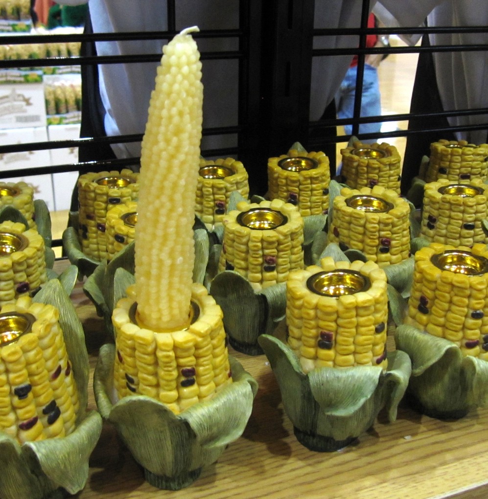
The local quilt shop had a quilt show, and had a couple Lewis and Clark quilts. This was my favorite.

The next day we went to the Lewis and Clark Heritage Days at the local state park. The highlight was the Native American group, the
Many Mocassins Dance Troupe. They did some great dancing, including this hoop dance using 25 hoops.

We were parked at the Cottonwood Campground, on a lake just outside Yankton, SD. It was a beautiful park, but very crowded on the weekends.

When Lewis and Clark went through here in 1804, the Missouri River was much different. Without the present-day dams, the river was shallow and hard to navigate. Many times the men ended up pulling the 55-foot long keelboat.
With all the energy that took, each man needed to eat up to 9 pounds of meat every day! Fortunately, near here, they killed their first buffalo. Buffalo kept them going all the way to the Rocky Mountains.
 Also in Mitchell, SD is a Cabella's Sporting Goods Store.
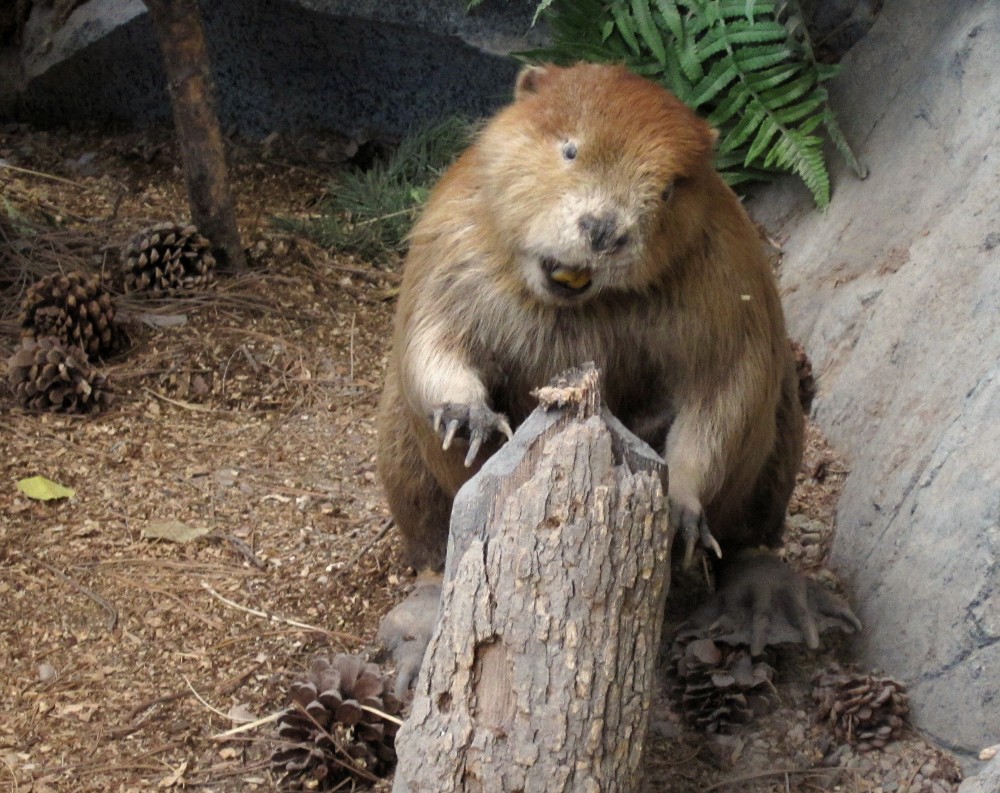 They're always fun to go to, because you get to take pictures of some very agreeable animals.
 I know this is even lamer than taking pictures at a zoo, but I do it anyway.
 Continuing towards Pierre, SD (rhymes with "beer), we came to another Lewis and Clark Information Center. There seem to be a lot of these located along the Trail. There is a beautiful view here overlooking the Missouri River.
 And there is a full-size (55 feet) keelboat like the one Lewis and Clark used. We've seen quite a few of these reproductions so far, but this one is unusual.
 It doesn't all fit in the building, so the one end sticks out the back of the building as a balcony.
 Also near here is the "Big Bend," a bend in the Missouri River that is the largest naturally occurring bend in any river in the US. This is the portion of William Clark's map showing the bend. He noted that he walked 2000 yards (1+ miles) across the neck while the boats went 30 miles around.
 This is Google Earth's view of the Big Bend. It's amazing how exact Clark's map was. And considering the river has since been dammed and changed slightly, he was probably even closer.
 Our first night in Pierre, the local newspaper came to our afternoon circle. They did a great article on us, and you can read the whole thing here.